

Hopp til innhold

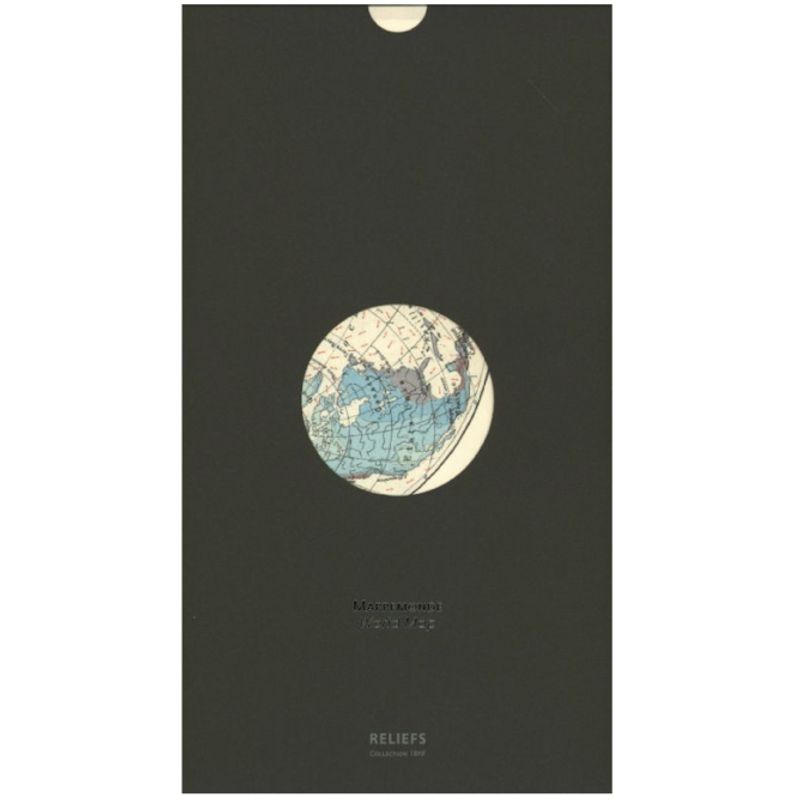
Reliefs Editions WORLD MAP

Art.nr:
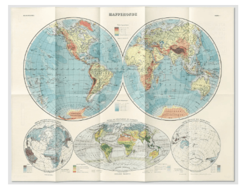
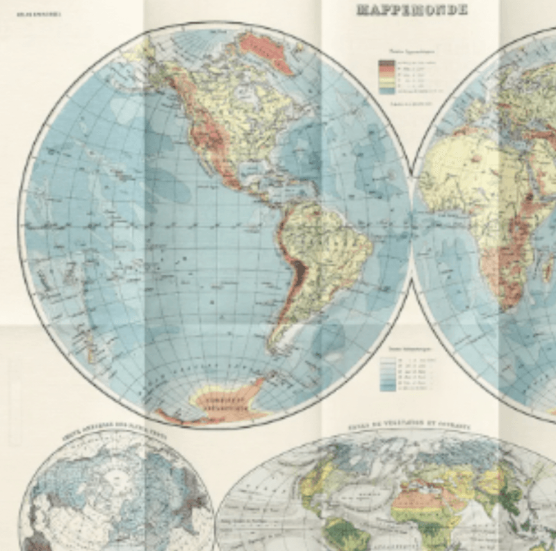
  This educational plate in two world maps and a planisphere is taken from the Universal Atlas of Geography constructed from original sources and the most recent documents, maps, travels, memoirs, geodetic works, etc. New edition in accordance with the peace treaties of 1919-1921. It includes a world map combining hypsometry (land elevation) and bathymetry (ocean depth), a meteorological world map (rain and wind) and a planisphere combining geobotany and current science. Produced just after the First World War, it shows a physical geography that now seems entirely known, marked out and as if eternal… 1 , ills colour, 17 x 33 cm, poster,

495,-

Informasjon


This educational plate in two world maps and a planisphere is taken from the Universal Atlas of Geography constructed from original sources and the most recent documents, maps, travels, memoirs, geodetic works, etc.

New edition in accordance with the peace treaties of 1919-1921. It includes a world map combining hypsometry (land elevation) and bathymetry (ocean depth), a meteorological world map (rain and wind) and a planisphere combining geobotany and current science. Produced just after the First World War, it shows a physical geography that now seems entirely known, marked out and as if eternal…

1 , ills colour, 17 x 33 cm, poster,

Andre kunder kjøpte også

  • paypal.png
  • vipps-orange.png
  • klarna-dark.png
  • visa.png
  • mastercard-full.png